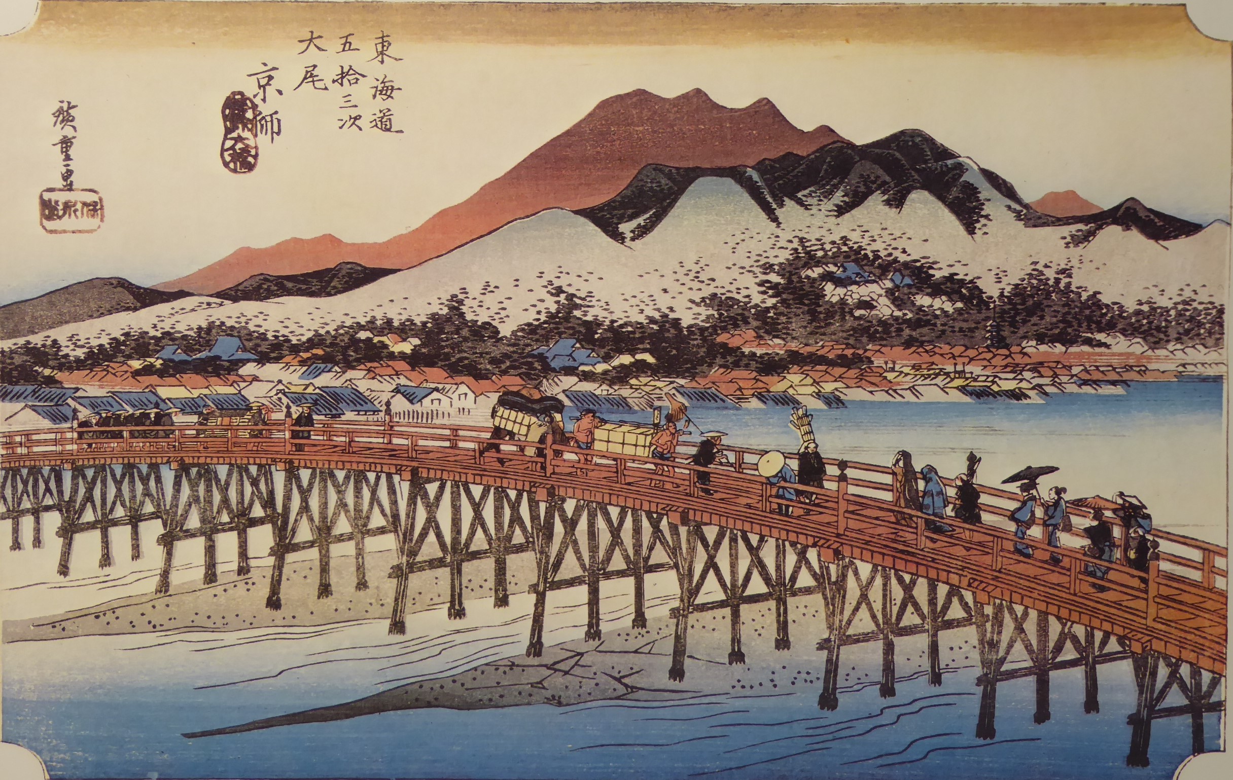
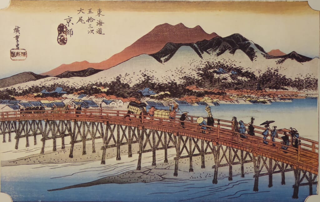
Explanation of the 53 Stations of the Tokaido 55 Keishi
Latitude 35° 00′ 32.66″ N 135° 46′ 18.25″ E
Corresponding to present-day Higashiyama Ward, Kyoto City. The Fifty-Three Stations of the Tokaido Route, which started from Nihonbashi in Edo, ended at Sanjo Ohashi Bridge, which was said to be the gateway to Kyoto.
Sanjo Ohashi Bridge spans the Kamo River, a class I river. It is said that the first bridge was built during the Muromachi period.
In 1589, by order of Toyotomi Hideyoshi, it was renovated into a stone pillar bridge along with Gojo Ohashi Bridge, with Masuda Nagamori as the magistrate.
It was one of the five main roads during the Edo period. It was placed as a public bridge under the direct control of the Shogunate. After that, the bridge was replaced during the Genroku, Meiji, and Taisho eras.
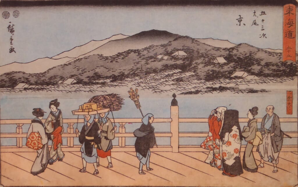
①The cityscape of Kyoto spreads out across the river, and the Thirty-six Peaks of Higashiyama can be seen in the background.
Although the bridge girder of Sanjo Ohashi Bridge is depicted as being made of wood in this map, it was actually made of stone bridge piles.
The bridge is bustling with a wide variety of people, including palanquin bearers, couriers, chasen sellers, women in full robes, and onlookers, reminding us of the vibrancy of Kyoto, which has prospered since ancient times.
“Keishi” means Kyoto, the capital of Kyoto.
② “Gyosho version” ➂ “Reisho version” both depict a part of the bridge from a different angle.
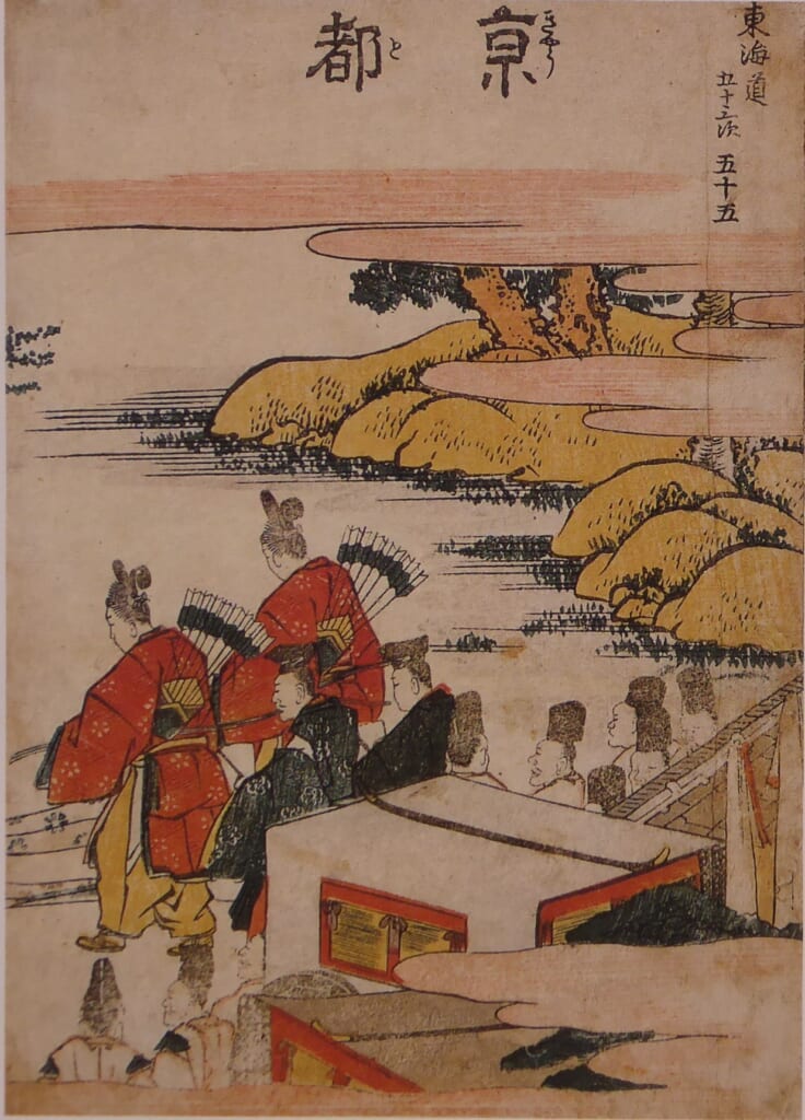
④The “Hokusai version” has the place name Kyoto written on it. It reminds me of the composition of the Kyoto Imperial Palace, not the Sanjo Ohashi Bridge.
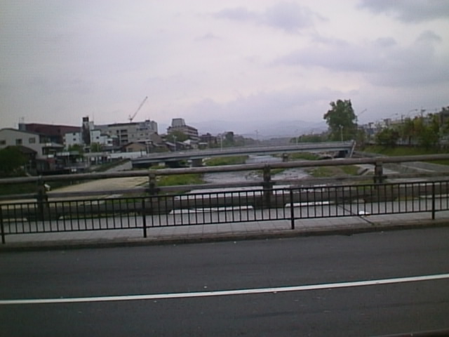
⑤The image was taken heading north from Sanjo Ohashi Bridge.
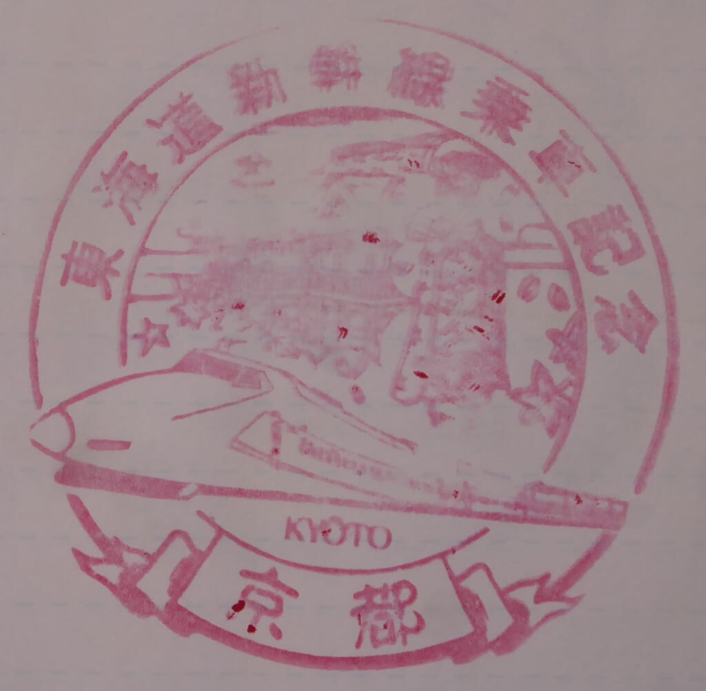
⑥The stamp is not stamped neatly, but it is a Kyoto Station stamp.
Hoeido version
Gyosho version
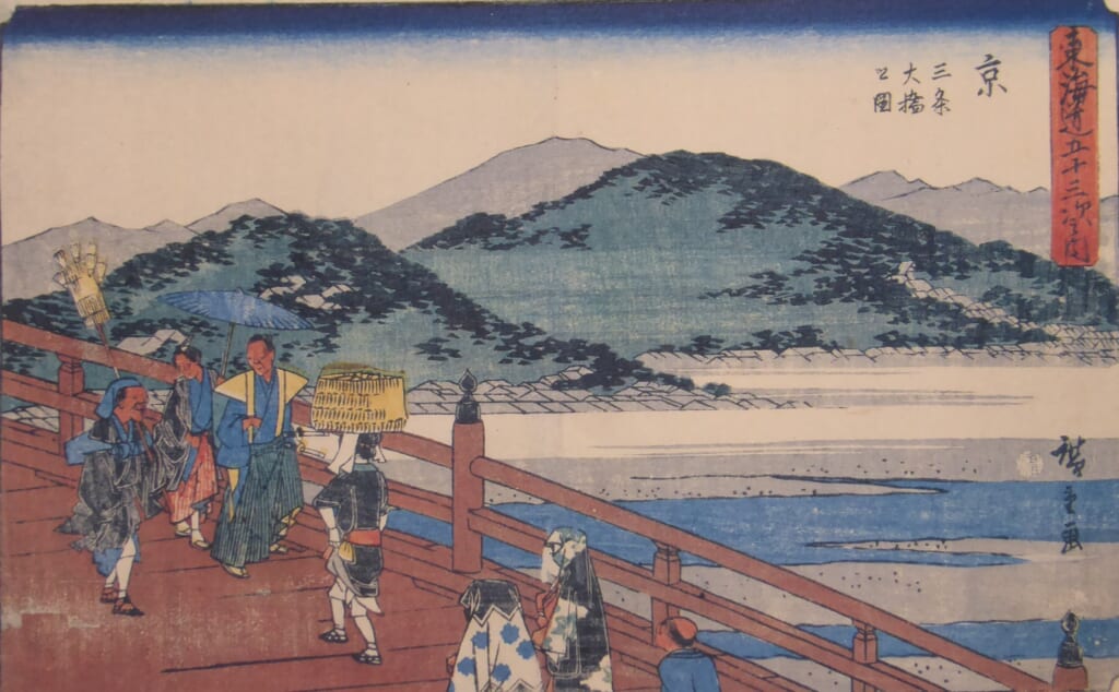
Reisho version
Hokusai version
Sanjo Ohashi Bridge
Kyoto Station stamp
