Explanation of the Fifty-three Stations of the Tokaido 40: Chiryu
11.1km from Narumi to Chiryu 35°00’05″N 137°03’03″E
Chiryu is the 39th station on the Fifty-three Stations of the Tokaido.
In historical kana, it is written as “Chirifu”. In modern kanji, it is written as Chiryu.
It is now Chiryu City, Aichi Prefecture.
It is about 330km from Nihonbashi in Edo, and it is said to have taken about 10 days at the time.
Chiryu had one main inn, one side inn, 35 lodgings, and a population of 1,620.
Chiryu developed as a collection point for goods.
Horse markets and markets for cotton, a specialty of the Mikawa region, were held here.
It became the economic center of the surrounding area.
During the Meiji period, the horse market moved from Matsunamiki to Jigenji Temple (Yamamachi Sakurababa).
It then changed to a cattle market and a mackerel market, but ended during the Showa period.
Chiryu developed as a temple town for Chiryu Shrine, which was founded in 112.
Chiryu Shrine is listed in the Engishiki Shinmeicho, compiled in 927.
As one of the three major shrines in the Tokaido region (Mishima Taisha, Atsuta Jingu, and Chiryu Shrine), it had a great influence.
The Nagami clan, a priest at Chiryu Shrine, became samurai under Emperor Goshirakawa and built Chiryu Castle.
The Nagami clan also expanded their influence as local lords, and ruled the area for a long time.
During the Sengoku period, the Nagami clan produced Oman no Kata, a concubine of Tokugawa Ieyasu, and Yuki Hideyasu was born.
The current population density in the center of Chiryu City is the highest in the Mikawa region.
It is located within 25km of Nagoya City, making it a commuter town.
Since 2016, large-scale redevelopment has been taking place at Chiryu Station with the construction of an elevated intersection.
The origin of the city’s name can be found in a wooden tablet from the late 7th century, which reads “Chirifu.”
The word “Chiryu” appears on a wooden tablet from the 8th century, which was written after the Ritsuryo system.
The Heian period Wamyōshō lists the town of “Chiryu.”
During the Edo period, the town flourished as a post-town called “Chiryu.”
The name “Chiryu” comes from the large number of carp and crucian carp that lived in the Mitarai Pond at Chiryu Shrine.
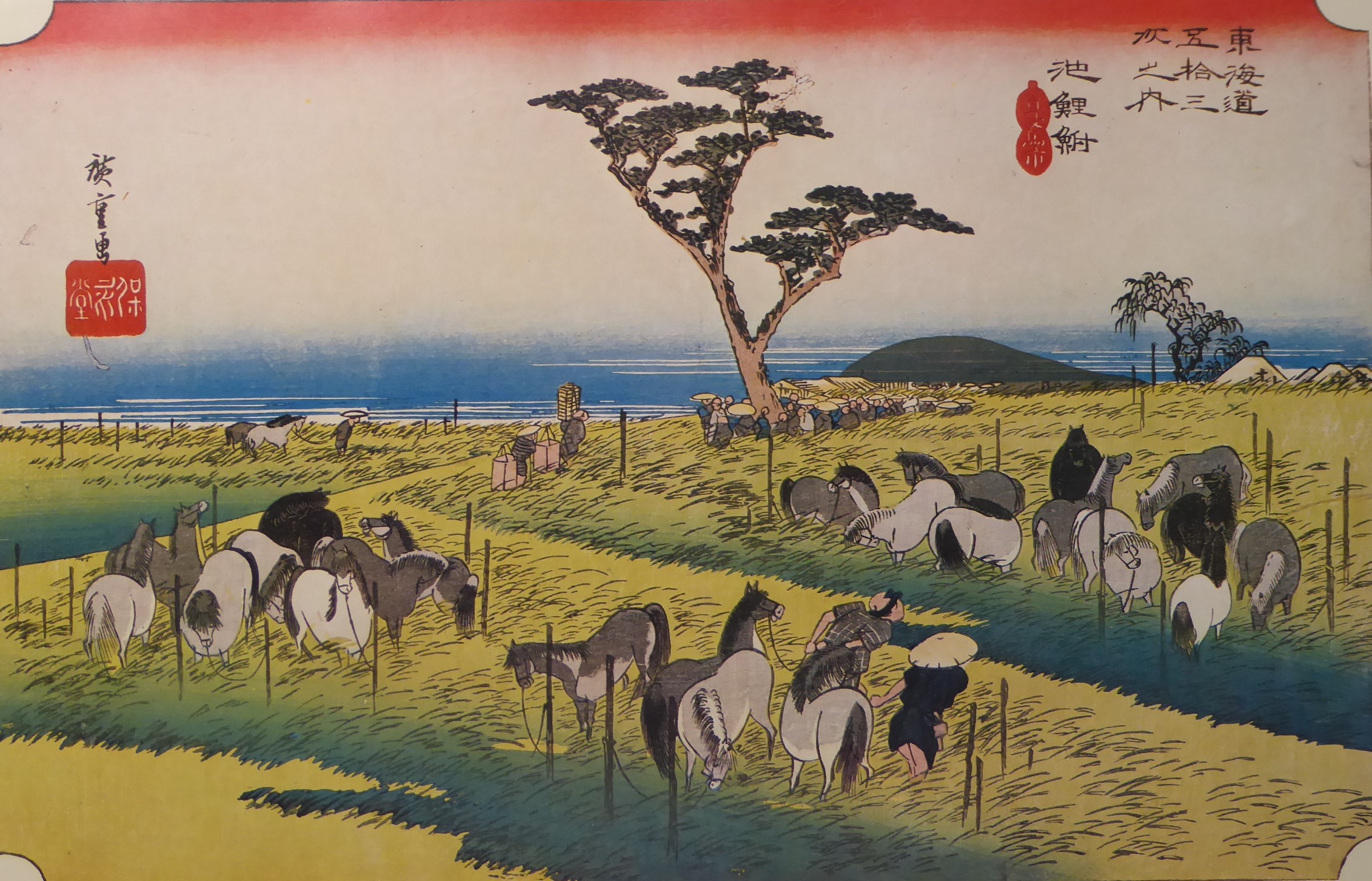
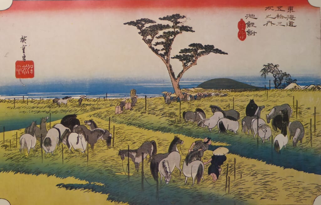
① “Hoeido version”
This depicts the horse market in Shuka (beginning of summer).
The horse market was held here every year from the end of April to the beginning of May.
Many horses are tied to posts in the field.
You can see the person who has just brought the horses.
Under the lone pine in the center, horse dealers known as bakuro are trading.
For this reason, this pine was called the “dango pine.”
The horses in various poses and the depiction of the grassland swaying in the wind are full of movement.
The 23 horses never tire of the viewer.
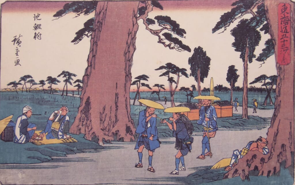
② “Gyousyo version”
A peaceful scene along a road lined with pine and cedar trees.
A person resting under a large pine tree.
A person stopping to smoke a cigarette.
A person dozing at the base of a large tree.
Each of these scenes is a peaceful journey.
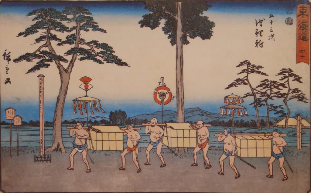
③ “Reisho version”
A scene along the road.
People are carrying heavy luggage in a basket-like manner.
Perhaps they are carrying cotton, a local specialty.
An interesting scene.
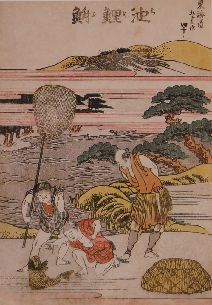
④ “Hokusai version”
A scene expressing the place name Chiryu.
There is a pond nearby, and a large fish has been scooped up in a net.
This large fish is thought to be a carp, not a crucian carp.
⑤ “Travel images”
No images available.
⑥ “Stamp image”
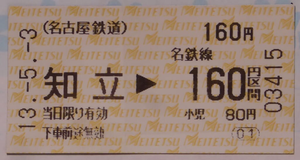
A ticket for Meitetsu Chiryu Station.
Hoeido version
Gyousyo version
Reisho version
Hokusai version
Stamp image
