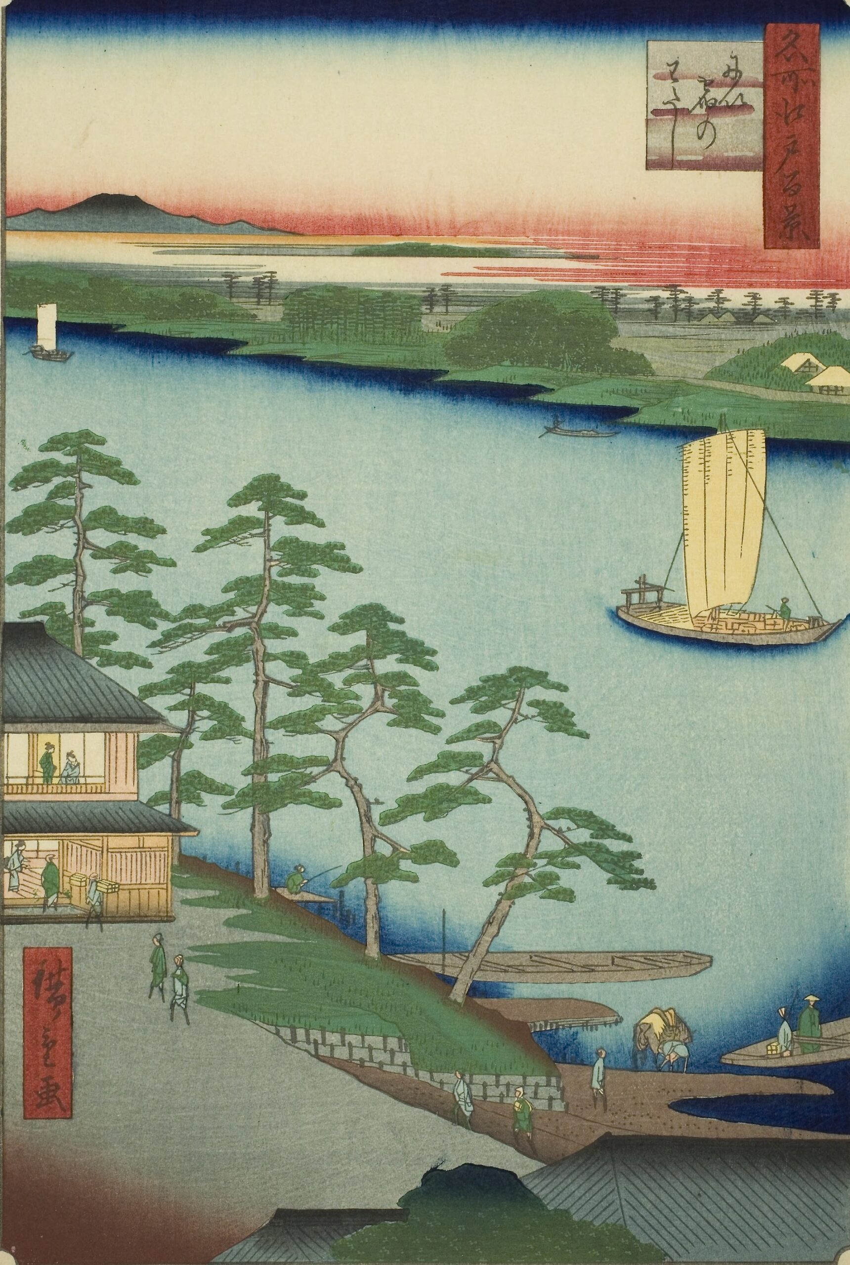
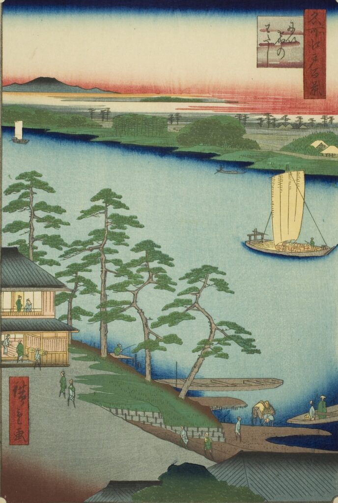
Utagawa Hiroshige-One Hundred Famous Views of Edo-94-Autumn-Ferry at Niijuku 歌川広重-名所江戸百景-94-秋-にい宿のわたし
Current Address: Near Shinjuku, Katsushika Ward
Latitude and Longitude: Latitude: 35.7480, Longitude: 139.8630
Published: February 1857 Age: 61
Tourist Guide-Style Commentary: “Ferry at Niijuku”
■ Introduction
Utagawa Hiroshige’s “One Hundred Famous Views of Edo” is a collection of ukiyo-e prints that vividly capture the scenery and leisure spots of Edo, and is a valuable resource that conveys the lives and culture of the people of that time to the present day.
One of the prints, “Ferry at Niijuku,” depicts the “Shinjuku Ferry,” which was located near what are now Tokyo’s Katsushika and Edogawa Wards.
Shinjuku was one of the post towns on the Mito Kaido road, facing the Nakagawa River, part of the Sumida River system, and had a ferry crossing for crossing the river.
This was a place that was a must-see for those heading from Edo to Mito or Shimousa, and Hiroshige’s brush vividly captures the atmosphere of travel and the waterfront scenery.
■ What is Shinjuku?
Shinjuku, located in what is now the Shinjuku area of Katsushika Ward, flourished as a post town on the Mito Kaido road.
As the second post town from Edo, it was an important hub supporting transportation and logistics in the Edo area.
The Shinjuku Ferry, which crossed the Nakagawa River, was an essential means of transportation for travelers and merchants.
In an era before bridges were built, ferries were part of the main artery transporting people and goods, and the riverside scenery was a quintessential part of traveling in Edo.
■ Highlights of the painting
The Mito Kaido road, one of the side roads known as “byway roads,” begins at Nihonbashi and heads north east of Asakusa, crossing the Senju Ohashi Bridge.
From Kameari, visitors crossed the Nakagawa River, downstream of the Furutone River, by boat.
The place on the other side was called “Shinjuku,” referring to the newly established post town.
Opinions are divided as to whether this was the Kameari or Shinjuku side, and it is impossible to tell from the illustration.
The Shinjuku ferry is on the right in the foreground.
The building on the right is thought to be Fujimiya, and the one on the left is Chibata-ya.
The river in front is the Nakagawa River.
The Mito Kaido is in the foreground.
The boat in the center is a Takasebune.
■ Traces remaining today
The ferry service has already been discontinued.
Historical sites and information boards have been erected in Shinjuku and along the Nakagawa River in Katsushika Ward, conveying remnants of its history.
Currently, the Nakagawa River has undergone bank protection work.
The wide river and the breeze along the waterside evoke memories of the time.
Historic sites of the Mito Kaido are scattered throughout the area from Katsushika Ward to Edogawa Ward.
Combining a visit to the remains of the Shinjuku ferry crossing with a tour of the post towns along the Mito Kaido road will give you a taste of what it’s like to be a traveler in the Edo period.
■ Tourist Guide Recommendations
- Visit the remains of the Shinjuku ferry crossing. Explore the information boards and surrounding historical sites, and experience the setting of an ukiyo-e print.
- Stroll along the Nakagawa River. Enjoy comparing the scenery depicted by Hiroshige with modern-day scenes as you walk along the riverside promenade.
- Explore the post towns along the Mito Kaido road. The Katsushika/Edogawa area is home to other remains that tell the story of the Mito Kaido road.